 Unistal Systems Pvt. Ltd., the developer and provider Oil & Gas solutions, has launched a new and unique solution SmartGasNet™, a complete solution for City Gas Distribution(CGD) network.

With an objective to provide operators with a powerful and comprehensive gas distribution& pipeline specific data model, SmartGasNet™ solution is a set of geospatial business applications, tools and analysis that are designed to assistthe operator’s business processes. This solution specifies the project definitions, design, materials and equipment, welding, fabrication, installation, testing, operationsand maintenance. It also offers to record customer connectivity within the network and attach relevant documents at appropriate indexes Geospatially.
Alok Gupta, Co-founder and Managing Director at Unistal Systems Pvt Ltd. said, “India is witnessing a significant boom in the city gas network and recently held ninth CGD bidding round which offers to cover 174 districts, grouped in 86 geographical areas and spread across 22 Indian states & Union Territories is a testimony of this. Our solution, SmartGasNet™ is a consolidated system to manage the CGD network processes. It will facilitate the operators in network planning, construction management, asset management, field Survey, customer mapping along with safety & outage management.”
SmartGasNet™ comes with features such as network planning &mapping, asset planning &mapping, building Bill of Quantity(BOQ), construction management solutions, line & asset/equipment maintenance with alerts along with planned and unplanned outages management. During an outage, the solution offers to immediately identify the affected customers and send SMS to them.
The other offerings of SmartGasNet™ solution for the new projects include Web GIS Application, GeoDataBase for CGD networks, Hosted Web Server, Setup, Configuration and Maintenance Services along with optional services for new data collection and for existing network.
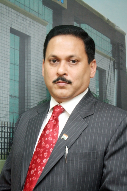
Pankaj Mathur, Co-founder and Director at Unistal Systems Pvt Ltd. said,”SmartGasNet™ has been designed keeping in view of the latest PETROLEUM AND NATURAL GAS REGULATORY BOARD notification which states that ‘The entity operating a CGD network shall put in place a GIS (Geographical Information System) based system with the intention of capturing the entire underground gas network and customer database. This system shall include details of the entire pipe network. All the pipelines laid shall be identified in GIS through geo- referenced co-ordinates. All failures in the pipelines shall be mapped in GIS for investigations’. We are proud to state that SmartGasNet™ is the only solution covering all these requirements along with services.”
The features of SmartGasNet™ include,
-
Planning and View as Network
-
Network Planning & Mapping
-
Asset Planning & Mapping
-
Build BOQ
-
-
Construction Management
-
Handheld Application to capture the “As Constructed Features”
-
Generate Pipe-Book with Linked Inspection & material documents
-
Dashboard having near real-time construction progress
-
Maintain traceability of Assets
-
-
Inspection & Maintenance
-
Line maintenance scheduling with Alerts
-
Asset/Equipment maintenance with Alerts
-
-
Outage Management
-
Planned and Unplanned Outages
-
Identify Affected Customers
-
Send SMS to Affected Customers
-
-
Call Before Dig
-
Online Application for Third party requests
-
Locate Third Party CBD requests
-
Print Location map with pipeline and assets of that area
-
The various offering of SmartGasNet™ solution include,
-
Software Application
-
Web GIS Application (Software As A Service)
-
GeoDataBase for CGD networks
-
Server
-
Hosted Web Server
-
Setup, Configuration and Maintenance Services
-
Preparation of BaseMap for GA (GIS Services)
-
Initial Configuration of the System
-
Training on Operating the Application
-
GIS Mapping of detailed engineering data from AFC drawings.
-
BackOffice QC, Support Services, Maintenance for Construction& GIS Data
-
Optional Services
-
For New Data Collection
-
GPS Survey for capturing Installed Assets
-
GPS Survey for weld Joints during lowering
-
Handheld based survey for Customer Data Collection
-
Preparation of As Builts
-
For Existing Network
-
Underground pipeline detection
-
Total Station Survey for Existing Pipeline with offsets
-
GPS Survey for capturing Installed Assets
-
Converting As-Builts to Georeferenced Drawings